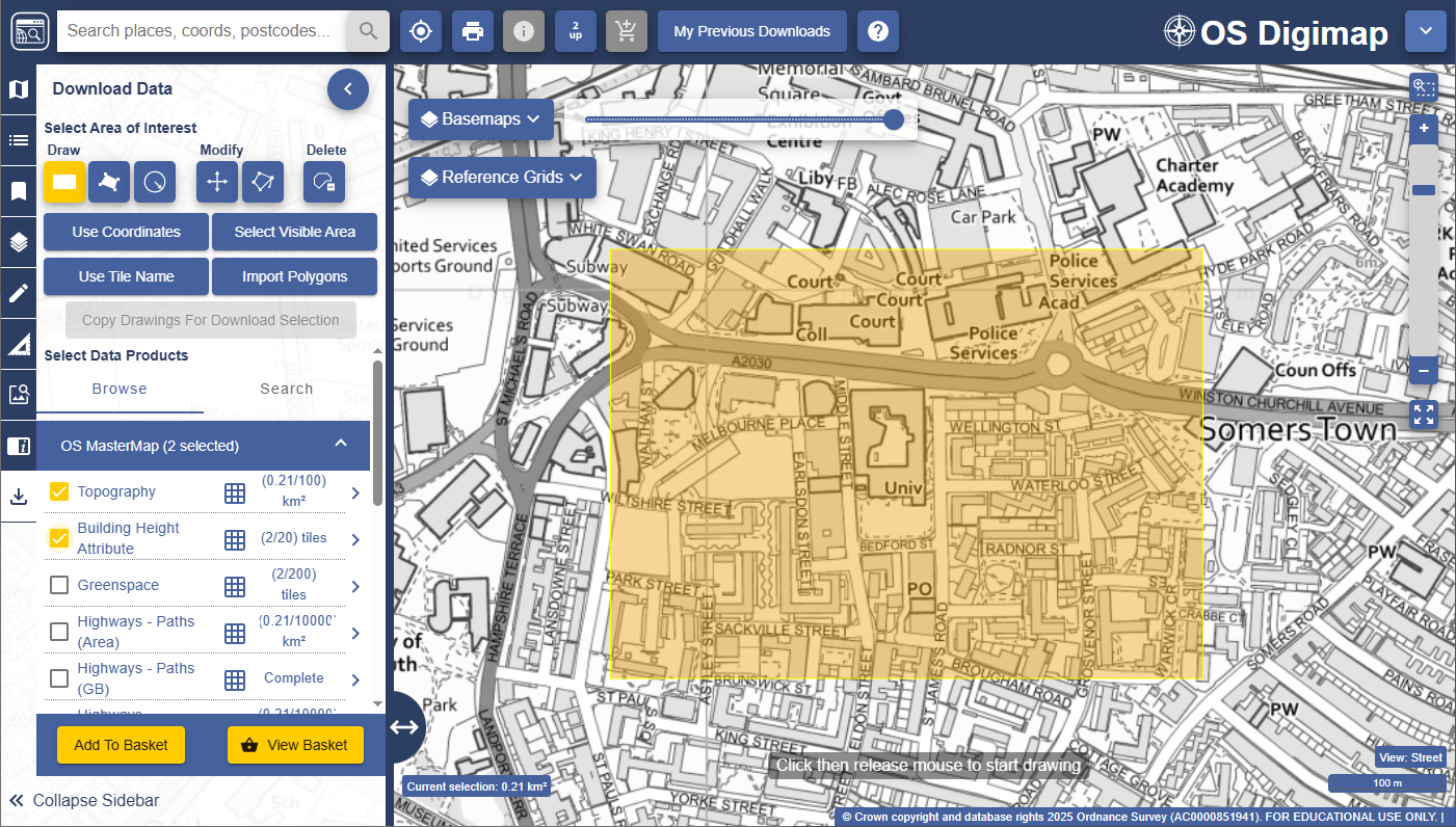
DigiMap Topography plan dwg opened in Rhino and converted to joined and closed curves on clear layers.
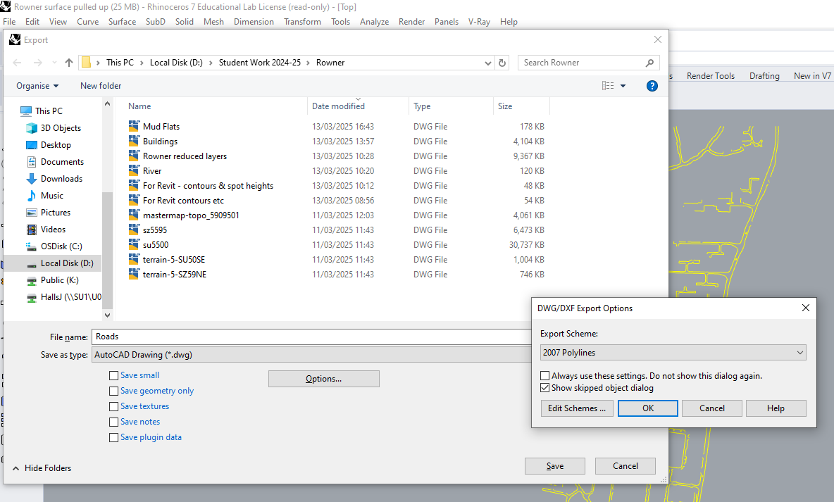
Export joined curves for roads, rivers and contours etc as dwgs with Polylines, these can be selected in Revit in one go by tabbing with the pick lines option.
Blocks of buildings can be coloured by layer and material, for the renders, linked to from a Revit site model.
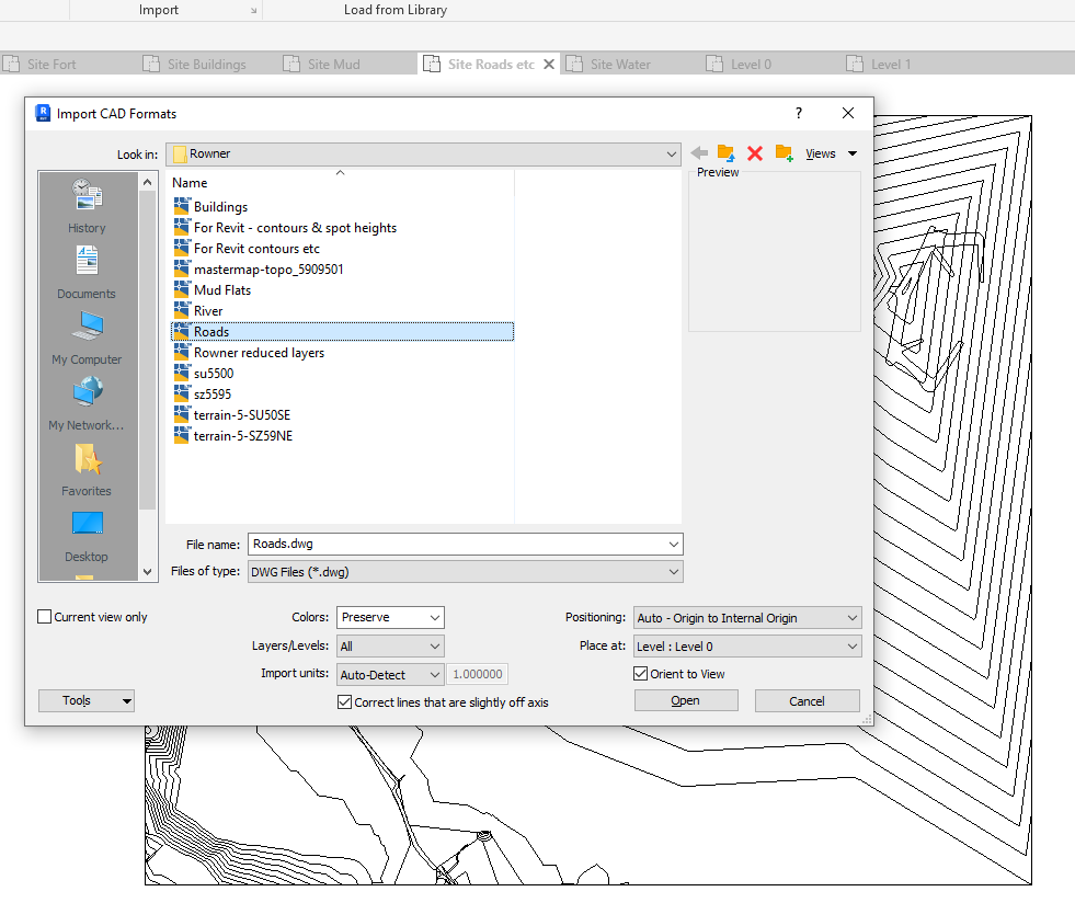
Import the dwgs into Revit Origin to Origin, if this doesn't work a bounding rectangle layer can be added to each saved dwg from Rhino.